This is also added to our tidal films page
Bristol – highest tidal range in a populated area anywhere in the world http://t.co/BSdPdQqkSz @GeorgeFergusonx @AliRVowles @DesperateMen
— Bristol Loves Tides (@Tides_BLT) May 22, 2015

This is also added to our tidal films page
Bristol – highest tidal range in a populated area anywhere in the world http://t.co/BSdPdQqkSz @GeorgeFergusonx @AliRVowles @DesperateMen
— Bristol Loves Tides (@Tides_BLT) May 22, 2015
This blog accompanies a public Google map, and together they form the Severn Estuary Art Atlas (SEAA) .
This aim is to show the location and content of a number of artworks which have been created in and around the Severn Estuary, and to reveal this extraordinary landscape through artworks created with(in) it.
Each artwork/project/event/artist has a dedicated page on this blog (see above) and these link to place markers on the accompanying Google map. In some instances a generic placemaker is used on the map for works which are not spatially specific.
This project relates to other academic work I have created on the Severn Estuary, tidal landscapes and ‘tidal culture’. (The Breath of the Moon).
This work has been developed with the help and support of a number of people. Thanks to Michaela Riser, Natasha Barker, Davina Kirkpatrick, Iain Biggs, Stuart Ballard, Antony Lyons, Suze Adams…
View original post 8 more words
“High Tide Clean Up” Borth & Ynyslas Beach Clean https://t.co/0eWv3kvFKX
— Hydrocitizenship (@Hydrocitizens) April 16, 2015
I like this tweet and the idea of a high tide beach clean. I guess the incoming tide will pick up all stuff like plastic and there it is for gathering on the high water line!
Hi all,
After something of a hiatus, the Severn Estuary Art Atlas (SEAA) is up and running again.
This is a public google map showing a range of art related to the Severn Estuary. There is also a blog and the map and blog are inter-linked (although some links to be put in).
Here is a screen grab
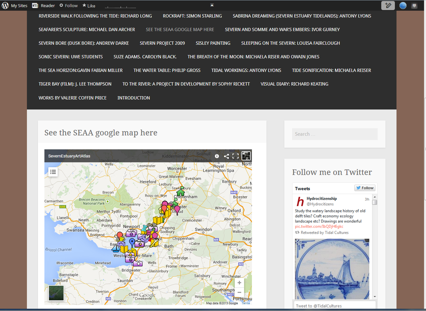
The blog is https://severnestuaryartatlas.wordpress.com/
The map is below
The Tide Country of the Sunderbans (Bangladesh Indian Boarder)
I hope Amitav Ghosh will be ok with me reproducing two pages of the novel The Hungry Tide, Harper Collins 2004/5
It offers a brilliant description of the vast area of tidal mangrove forests which are the setting for the book.
“The tides reach as far as two hundred miles inland and everyday thousands of acres of forest disappear underwater, only to reemerge hours later.”
(Click on images and they should be readable)


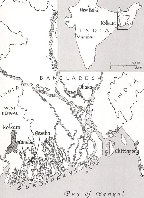
It is also worth looking at Google Earth – there are some photos – and the complexity of the delta is revealed!!
As well as the usual monthly (sping and neap) and seasonal (perigean and apogee) rhythms of tides, there is a 18 year cylce of differnce cuase by variations in the orbit of the moon. 2015 is a peak year in this cylce – so extra high tides.
Setting questions over fishing aside – this is a great site for free, yearly tide tables for the whole of the UK. Many sites restrict the tidal predictions offered, and try to sell tide tables.
http://www.tides4fishing.com/uk
A trip to explore landscape character of the Severn Vale with CCRI, CPRE, UoG, and Sabrina Dreaming (Antony Lyons), and Nathan Huges (film maker)
Where, when and who: Severn Vale Minibus Tour Itinerary 09012015
Thanks to Rob Berry of CCRI and Antony Lyons for organising.
Some pictures
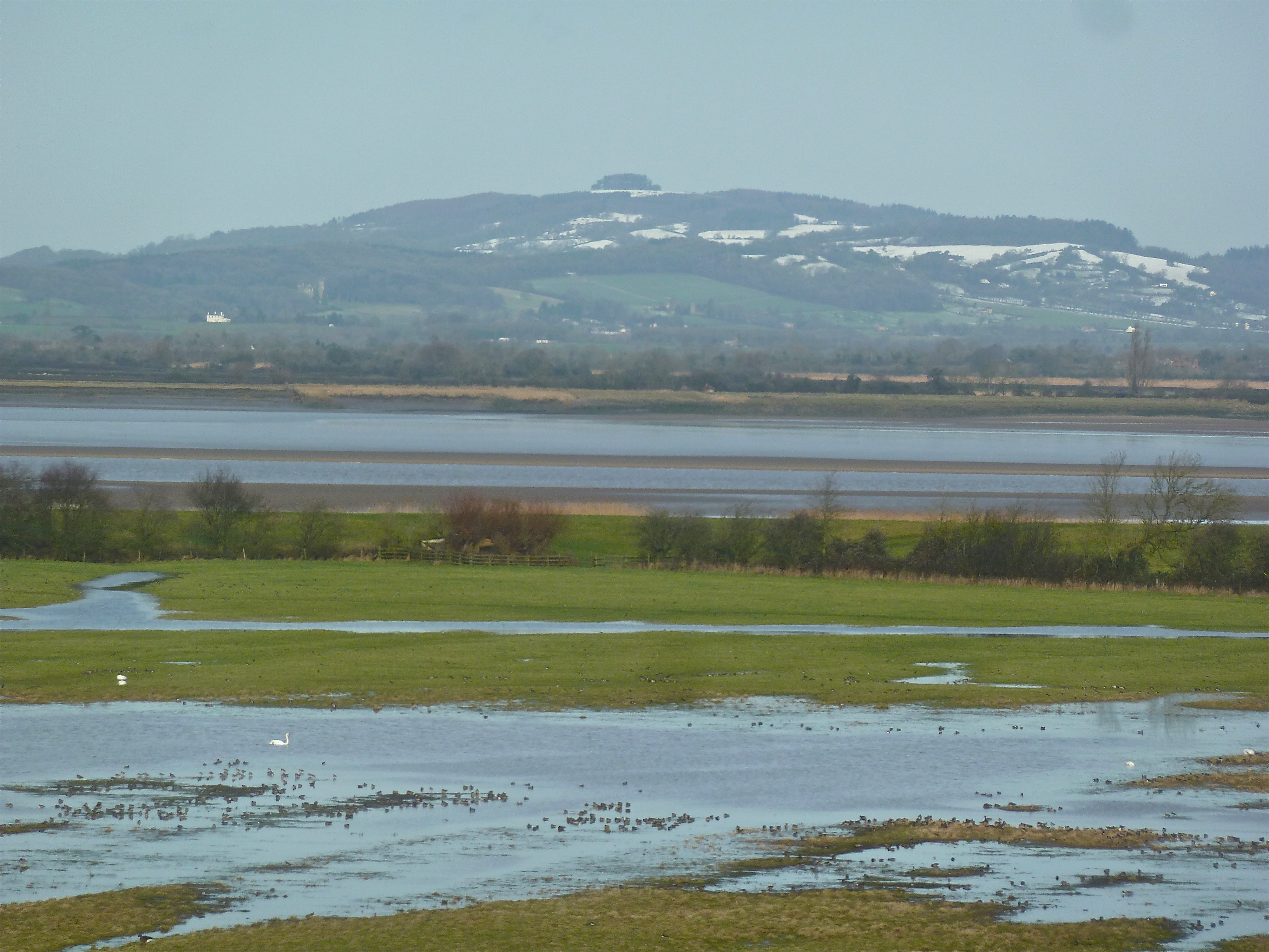
May Hill from WWT Slimbridge
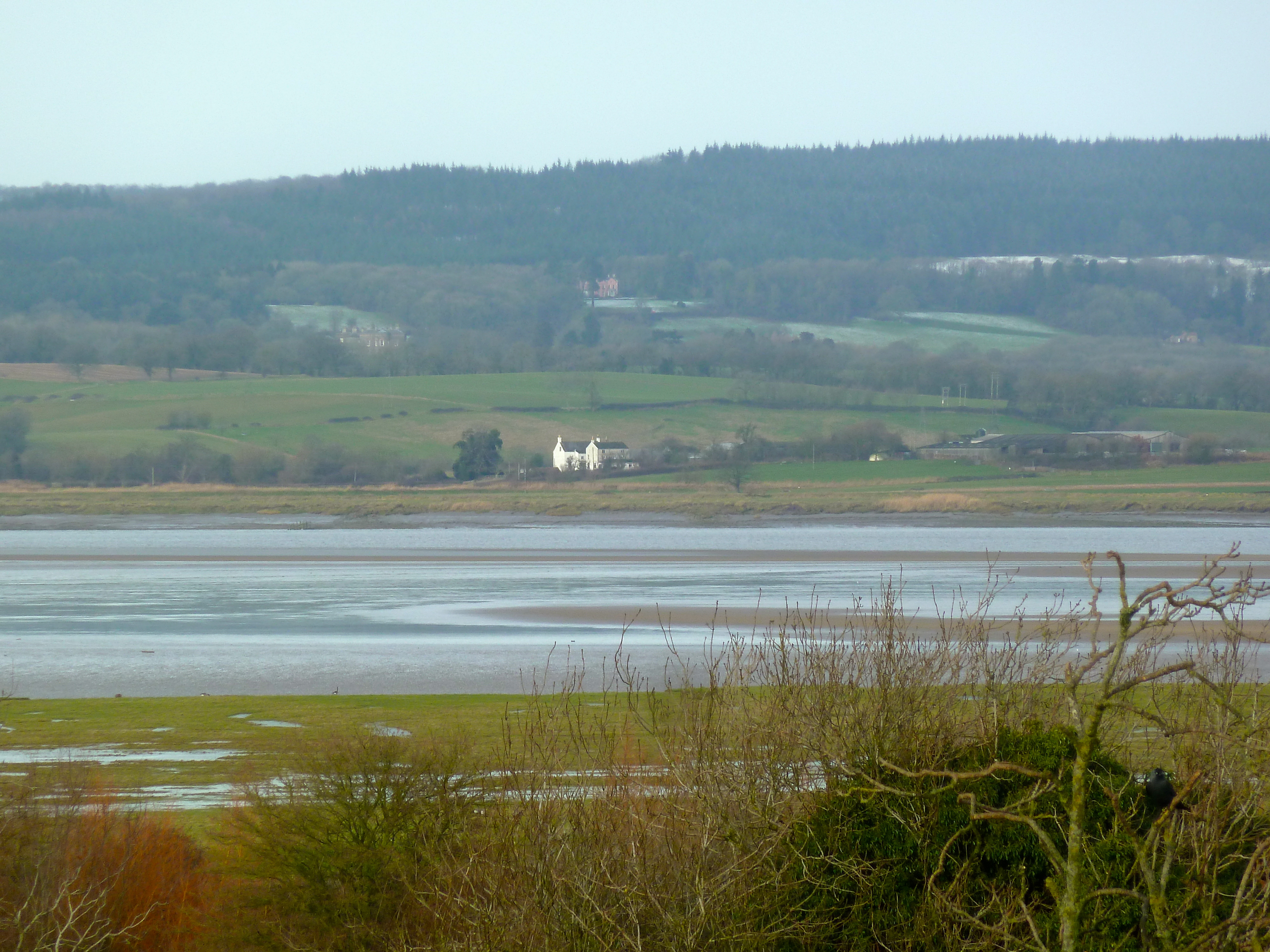
Looking over the estuary from WWT Slimbridge

Looking over the estuary from WWT Slimbridge
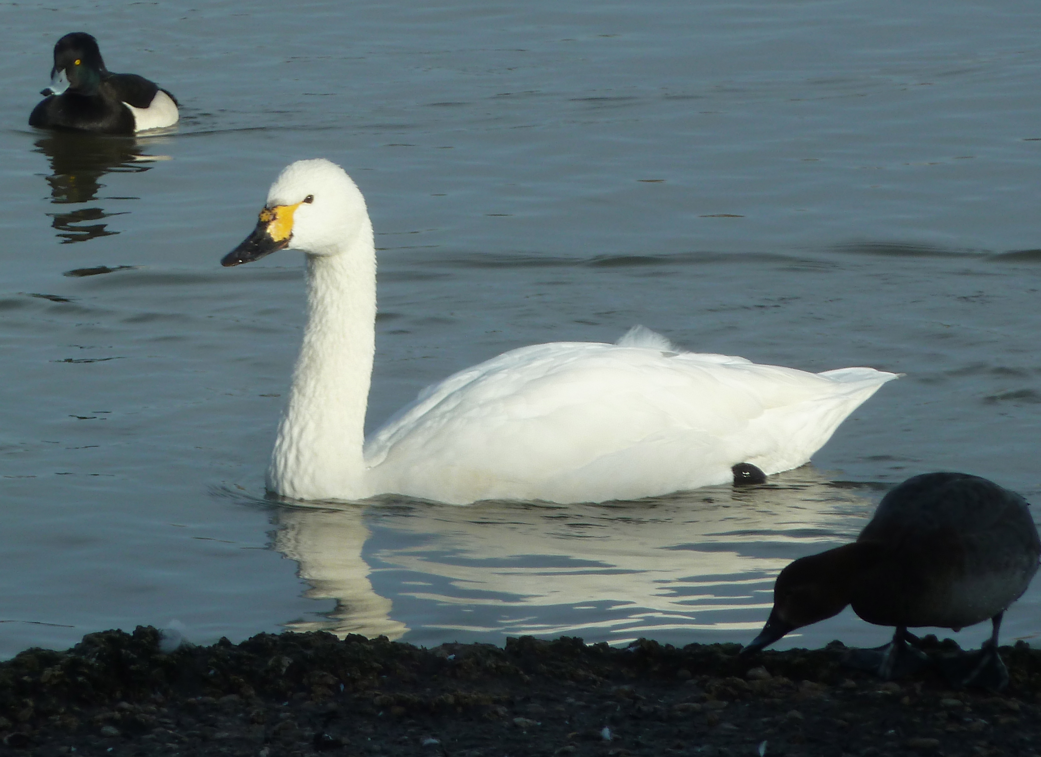
A few of WWT’s residents
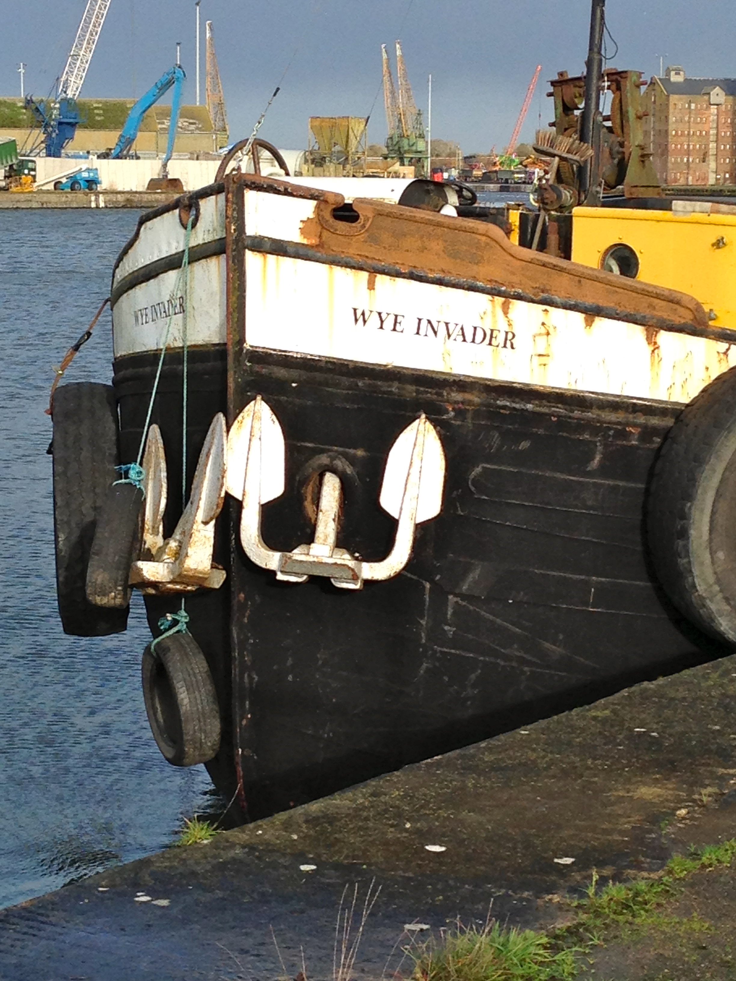
THe Wye Invader – Sharpness Docks
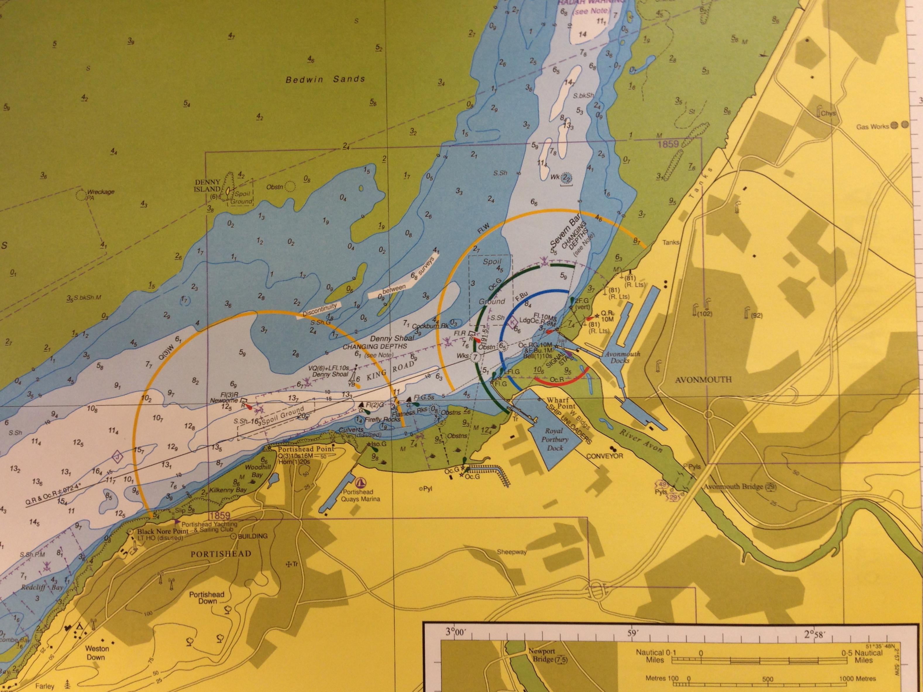
Navigation ight arcs on marine map – Avonmouth
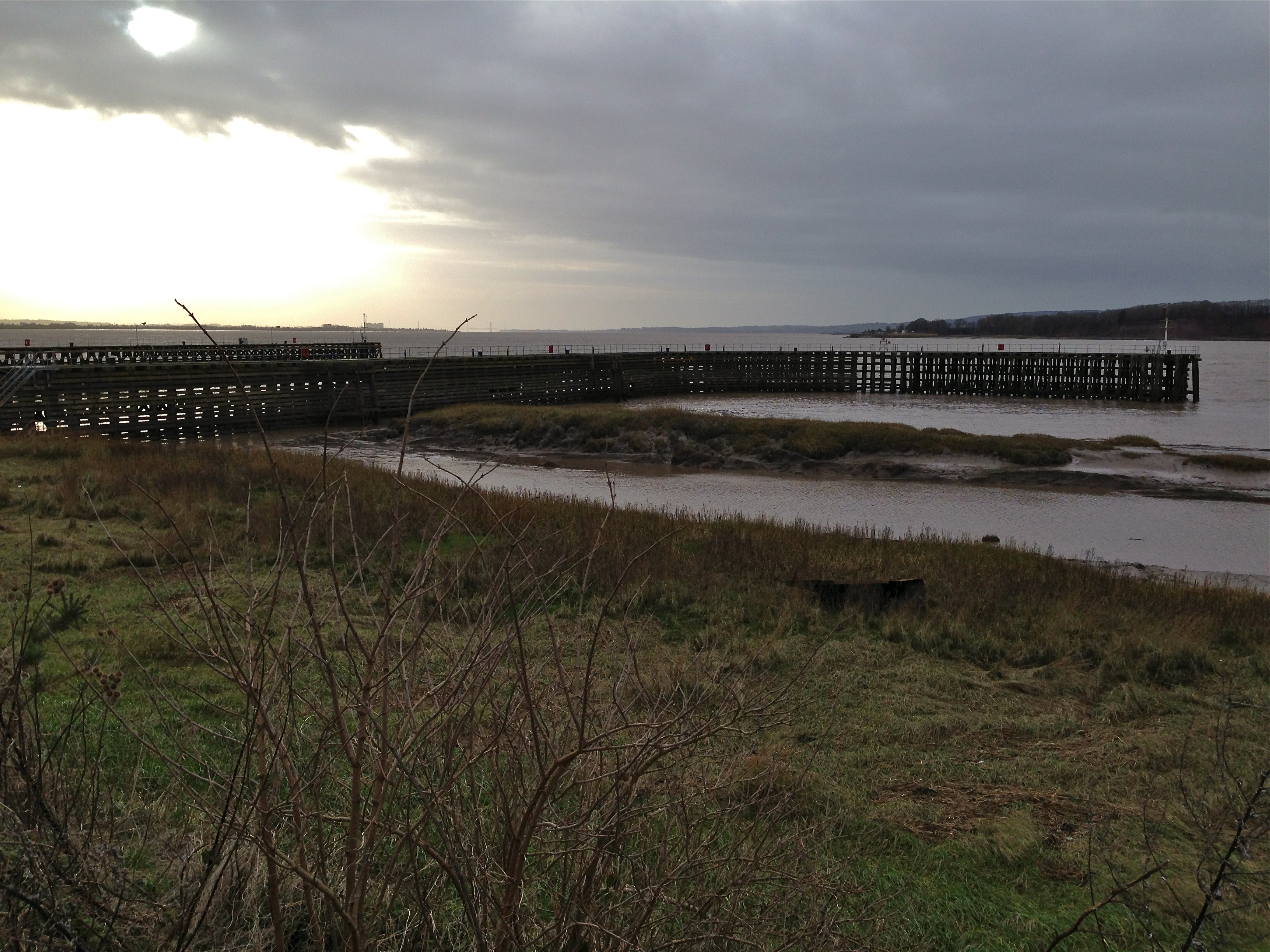
Entrance – Sharpness Docks
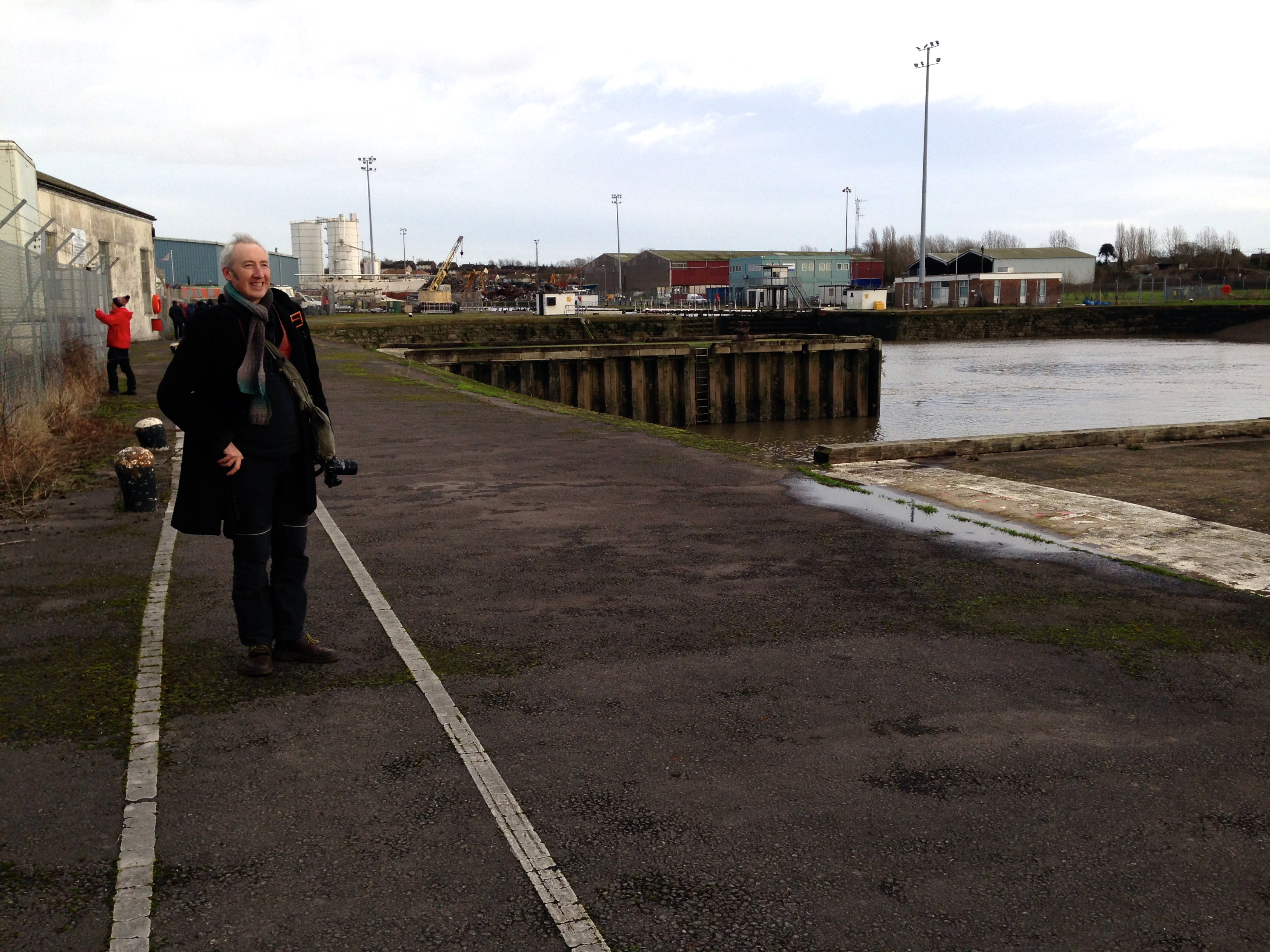
Sabrina Dreaming boss!
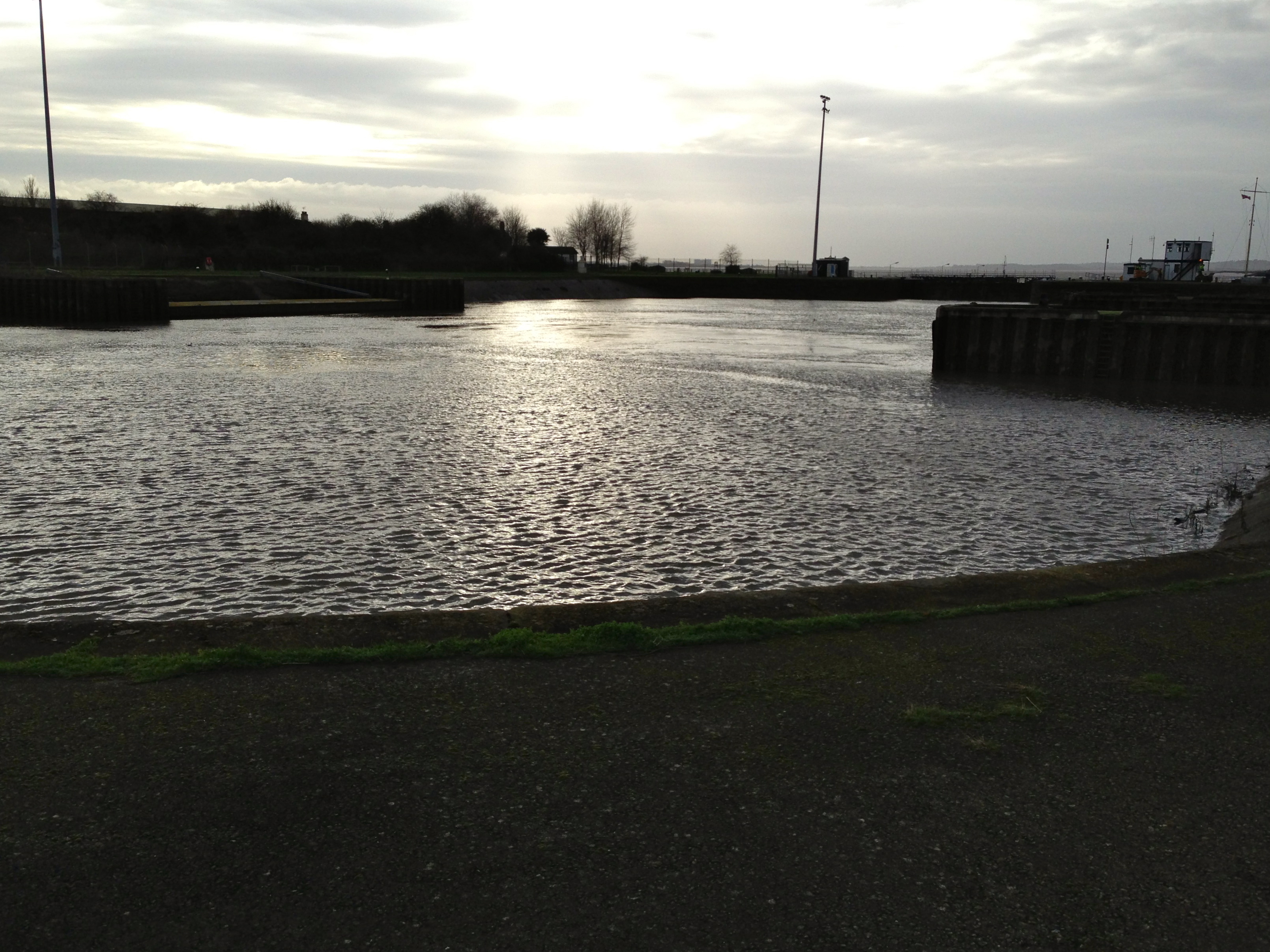
Entrance – Sharpness Docks
The WordPress.com stats helper monkeys prepared a 2014 annual report for this blog.
This blog was viewed about 880 times in 2014.

 Tidal Cultures